Deleted
Deleted Member
Posts: 0
|
Post by Deleted on Jul 4, 2013 1:53:24 GMT
Morning all,
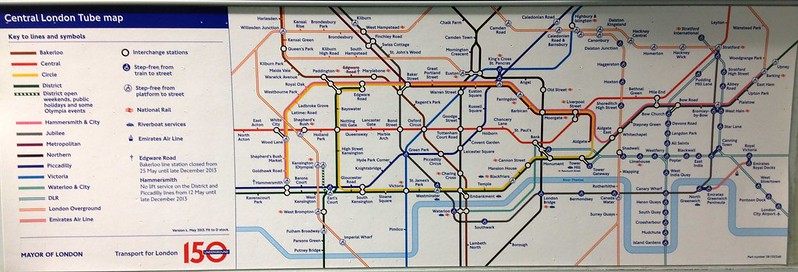
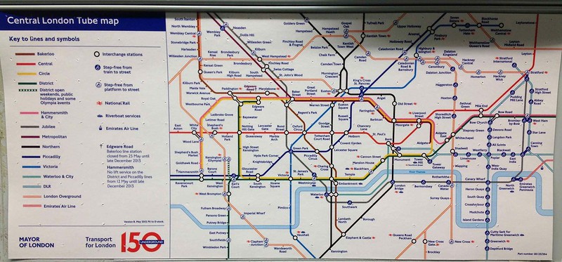
So I was travelling on the Bakerloo line home from work yesterday, and I noticed that they have two different types of "Central" London tube maps; one above the seat and one by the single leaf door.
(1) How can the definition of Central London even vary between stocks, let alone vary between position in the train
(2) The map by the single leaf door showed Watford Junction as part of Central London... how can that be so when it's subject to pricing that (feel free to correct me) isn't even set by TfL, and the tube map shows it as outside of TfL's controlling area
Surely, a logical thing to do would be to just decide what constitutes Central London categorically and have the same map across the network. Personally, I think that just Zones 1 and 2 should be on the map as they seem to capture Central London perfectly.
What do you all think?
ELL
|
|
|
|
Post by Dstock7080 on Jul 4, 2013 7:30:25 GMT
Maps are certainly cropped to fit the available space both in length and height. D Stock and '73 Stock have maps next to the line diagrams that show differing areas of 'central London'. The criterior still seems to be the traditional Circle Line as the vital information, as some maps preclude Hammersmth being shown. 2 different on D Stock:   |
|


